BOZEMAN – Wildfire smoke returned today for most of SW Montana as the flow aloft is back out of the SW and thick smoke from fires in California is lifting to the NE. Air quality conditions are highly varied over the state but the worst smoke is over SW Montana east of the divide. Dillon to Bozeman to Billings southward will continue to see thick smoke through this evening.

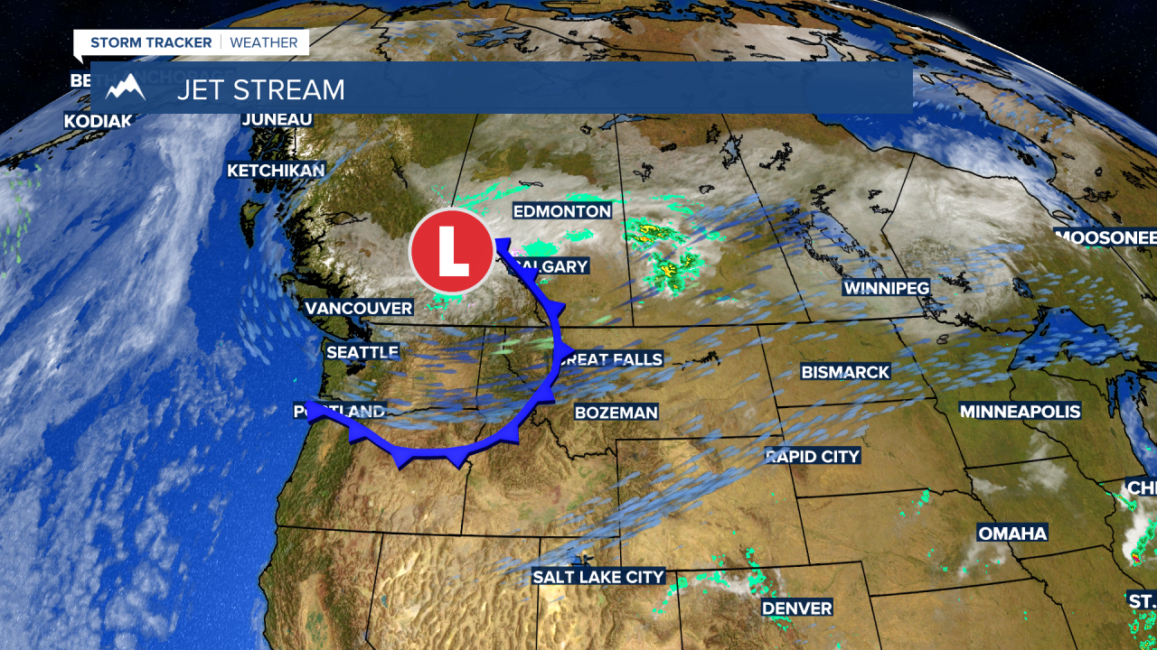
There is another Canadian trough developing over British Columbia today. An area of Low pressure and a surface cold front are developing nicely, and this will bring another pattern change to Montana for the rest of the week.
The upper-level Low should stay in Canada but a surface cold front will pass through the state producing gusty winds and cooler temperatures with very little to no moisture over the next few days. Temperatures should remain near to slightly below normal through the end of the month.
Higher mountain valleys could see morning lows fall down to or below freezing beginning Tuesday morning and remain frosty through most of the week. Lower valleys should stay above freezing and there are no concerns for frost at this time.


