


BOZEMAN – Short-term forecast is centered around 2 factors. One is wildfire smoke pushing back into SW Montana and second is thunderstorm activity Wednesday afternoon.
A stronger surface flow out of the SW is pushing wildfire smoke back into Montana, especially the southern half of the state. An air quality alert continues for Gallatin County through Thursday morning, especially for the West Yellowstone area. Unfortunately, thick smoke could linger over the entire region for several days. We hope a stronger cold front Friday will help clear the smoke out.

There is some mid to upper level moisture with the SW flow Wednesday and isolated to scattered thunderstorms are possible over SW Montana. These will be a garden variety of storms, some weak and some on the stronger side. Look for brief heavy rain, small hail, strong outflow wind gusts and plenty of lightning through sunset Wednesday.

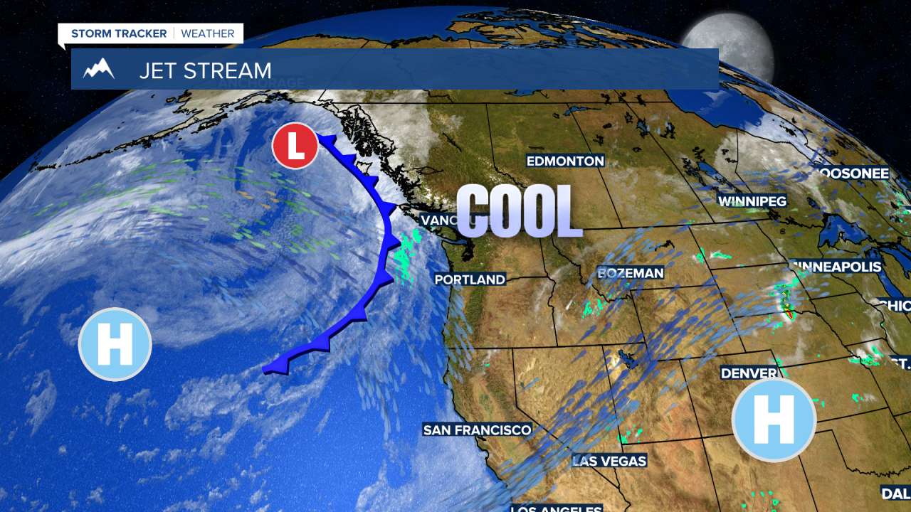
The next weather maker is a Pacific storm developing in the Gulf of Alaska and pushing up against the Bristish Columbia, Canada coast today. This storm will roll over southern Canada and mostly across northern Montana Friday into Saturday morning.
There could be some scattered showers and isolated thunderstorms with this storm Friday into Saturday but forecast models show the best potential for wet weather to be north of I-90.
The entire state will see another shot of cool air dropping max temperatures into the 50s and 60s by Saturday.
