


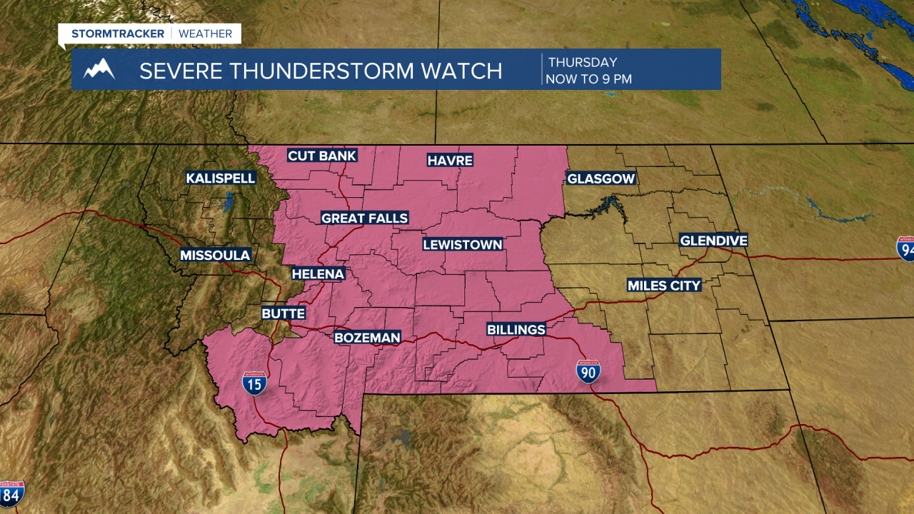
UPDATE: The National Weather Service issued a SEVERE THUNDERSTORM WATCH for SW Montana east of the divide through 9 pm Thursday evening. This means there could be damaging thunderstorms. Damaging wind gusts to 60+ mph and/or damaging hail 1" in diameter or larger. Very heavy rain could lead to flash flooding and ponding on roadways.
________________________________________________________________________________________________________
BOZEMAN – We continue to see the same weather pattern impact Montana again today and likely to continue through Saturday.
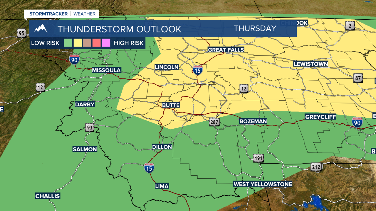
Afternoon to early evening thunderstorms will be the base forecast for most of SW Montana. Some storms could be strong, and few could be severe with damaging peak wind gusts and/or large damaging hail.
The Storm Prediction Center’s convective outlook has the higher probability for damaging storms along and north of I-90 Thursday and Friday. The stronger thunderstorms should shift into Eastern Montana Saturday but there will be several thunderstorms rumbling over SW Montana Saturday afternoon.


As these storms continue to pass through the same areas producing moderate to heavy rain look for flooding to occur. The National Weather Service issued a FLOOD WATCH for central and eastern Montana counties mostly through midnight tonight and into Friday morning for the far NE corner of the state.

At the time of this update at 1:30 pm a severe thunderstorm watch has not been issued. However, there is an 80% chance that a severe thunderstorm watch will be issued for this afternoon and evening. Look for updates on the KBZK STORMTracker Weather App.
