


BOZEMAN – Look for more thunderstorm activity Wednesday afternoon and early evening. There could be strong to severe thunderstorms over SW Montana from Dillon to Bozeman northward.
Damaging wind gusts over 50 mph and hail 1” or greater in diameter is possible. One area of concern is Granite and Powell counties. The northern half of SW Montana is favored for possible strong to severe thunderstorms.
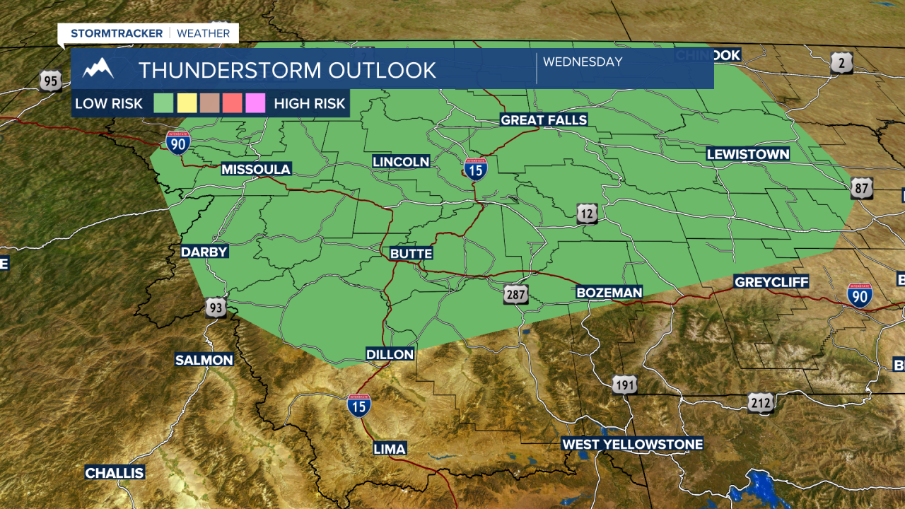
Thursday stronger thunderstorms will shift a bit farther east, but the Bozeman area is in the area of greatest concern. The convective outlook from the Storm Prediction Center has a “marginal” risk for damaging thunderstorms over Northern Gallatin County Thursday afternoon.

There are a few Red Flag Warnings up just outside of our region for this afternoon and evening and again for Thursday afternoon and evening.
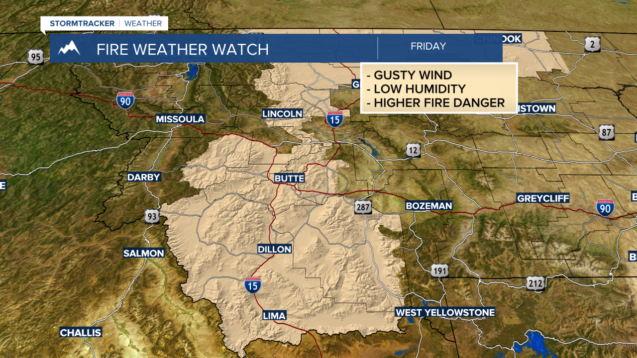
It appears Friday could be a critical fire weather day for SW Montana as temperatures rise, surface wind gusts increase, and relative humidity levels will be low. This means a higher probability of new fire starts are possible Friday so please use extreme caution with all outdoor activities.
