


BOZEMAN – A stalled weather pattern keeps the afternoon thunderstorms alive through the end of the week.
Some thunderstorms will be strong, and a few could reach severe levels. This means some thunderstorms could produce damaging wind gusts and/or damaging large size hail. There is also the potential for brief heavy rain and of course plenty of lightning.
The good news is that thunderstorms are very localized, meaning not everyone in SW Montana will see thunderstorms over the next 3 days. The latest forecast track has a higher probability of thunderstorms across the western and northern half of SW Montana.
The Storm Prediction Center has a “slight” risk in yellow from Butte to Bozeman northward Wednesday for stronger to severe thunderstorms.

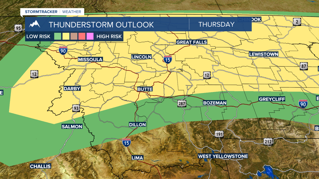
Thursday afternoon most of the central and northern half of the state could see strong to severe thunderstorms from Wisdom to Butte northward.
By Friday the strongest thunderstorms should push into the far northern half of the state. However, garden variety late afternoon thunderstorms are likely around Butte and over to the Bozeman area.

If you are heading up to the Montana Folk Festival in Butte on Friday afternoon keep a close eye on building thunderstorms and if they do develop, please seek shelter until they pass through Butte.
The heaviest rainfall out of the continuous rounds of thunderstorms will impact most of central and northern counties of Montana through Friday. 1" to 2" of rainfall is possible by the end of the week.

