


Today's Forecast:After a chilly or frosty start to your Friday, we will see our temperatures climb back to the 60s and low 70s by Friday afternoon under partly cloudy skies. Winds will shift back to the south today between 10-20 mph.
BOZEMAN: High: 70; Low: 47. Partly cloudy skies and breezy with a south wind between 10-20 mph. Look for more clouds late in the day to keep our overnight lows from bottoming out.
BUTTE: High: 66; Low: 41. Slightly cooler than average for the afternoon as our highs stay in the middle 60s with a southwest wind between 10-20 mph.
DILLON: High: 66; Low: 41. After a chilly start our daytime temperatures will stay in the middle 60s for the afternoon with a southwest wind between 10-20 mph and gusts near 30 mph.
WEST YELLOWSTONE: High: 61; Low: 33. Cool afternoon highs in the low 60s under partly cloudy skies.
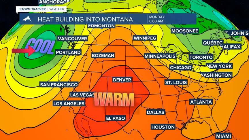
NEAR RECORD HEAT NEXT WEEK:
After a significant cold front moved through on Thursday, we are starting to see a much warmer pattern emerge next week. Highs will build to the middle 90s across southwest Montana by Monday and Tuesday. With that heat in place, it will be difficult to see any significant chance for rain in southwest Montana as the hot and dry pattern blocks any Pacific fronts from moving through and our moisture will be cutoff with a warm and dry desert airmass moving into the region.
