

BOZEMAN – Unseasonably warm weather pattern has reached its peak today across Montana. Most reporting stations Tuesday afternoon are running around 10 to 20 degrees warmer compared to Monday.
In fact, we are approaching record high levels for SW Montana. Butte, Dillon and Livingston have the best chance for new record highs today.
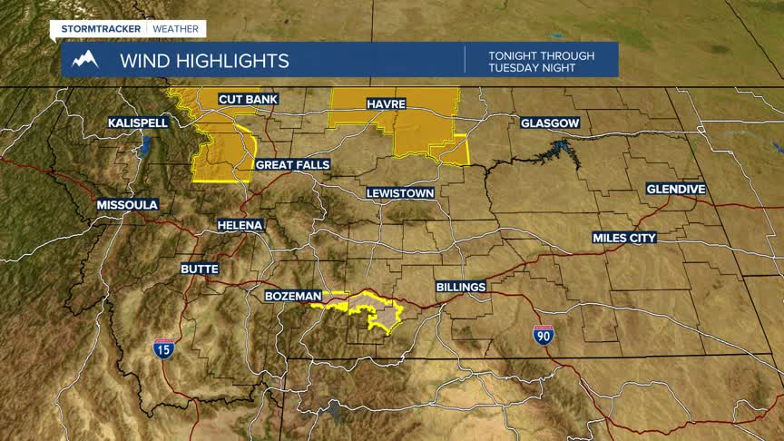
A cold front will pass through the state Wednesday and that will kick off a cooling trend to last through the weekend into next week. Temperatures will fall closer to seasonal averages for this time of year and although the forecast is cooler, I don’t anticipate an Arctic blast.
A series of weak Pacific disturbances will pass through the state over the next 5 to 7 days and forecast models are showing mountains will have a better chance for periodic accumulations and valleys a lower probability of accumulating snow.
