


BOZEMAN – The greatest hazard this weekend will be continued unhealthy air quality from wildfires in Montana and across the Pacific NW. The mid to upper-level flow aloft is mostly out of the SW and this paving the way for wildfire smoke to pass through Montana.
The area of greatest concern is from Missoula to Billings and this includes Butte and Bozeman. The far southern end of the Beaverhead, Madison and Gallatin counties will see smoke but the worse conditions should be along the I-90 corridor.
The Department of Environmental Quality has “Air Quality Alerts” up for most of SW Montana. Conditions will be re-evaluated every morning but for now plan on this alert to continue through the weekend.

Our smoke tracker forecast model shows incredible smoke over most of SW Montana Friday night into Saturday morning.
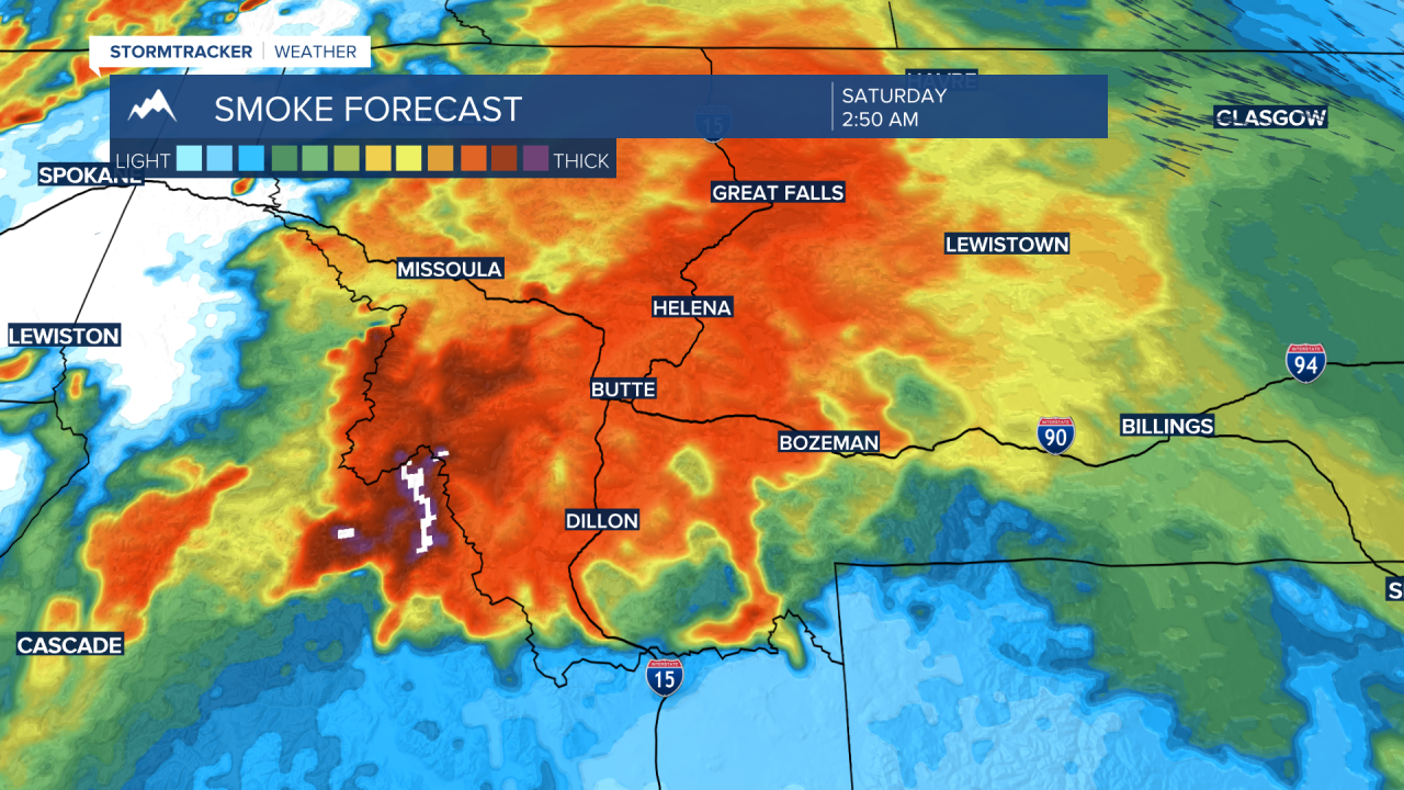
By Saturday afternoon the model is projecting the thickest smoke between Butte and Bozeman around 3 pm Saturday and less impacts between Dillon to West Yellowstone.

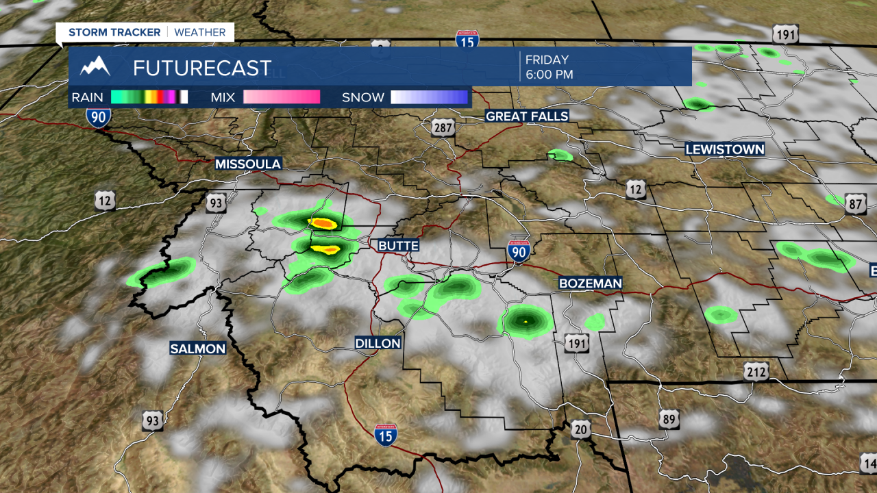
Two other weather-related concerns to share with you this weekend. First, is the threat for dry thunderstorms Friday afternoon and evening. Sunday we could see dry thunderstorms over SW Montana as well. Second, is another round of extreme heat this weekend into early next week.
There are Excessive Heat Warnings and watches up for central and eastern Montana counties this weekend into early next week. Triple digit heat is possible for most of central and eastern Montana by Sunday into Monday.
SW Montana will also see extreme heat reaching the low 90s to low 100s Sunday and Monday. This will put us close to record high levels.
Plan on a hot, dry, and very smoky weekend for most areas of Montana.
