


Today's Forecast: Expect partly cloudy to mostly cloudy skies today across southwest Montana as an upper-level low situated in Alberta continues to swirl and drive cooler air and a few lighter showers our direction.Most of southwest Montana will be cloudy but dry with only a spotty shower or two pushing through the northern portion of the area.
BOZEMAN: High: 64; Low: 39. Partly cloudy to mostly cloudy skies in place for today. Temperatures will stall this afternoon in the middle 60s with light winds out of the northwest.
BUTTE: High: 63; Low: 38. A few light showers are possible today in the region as our skies remain cloudy and rain showers linger just off to the north.Rain chances are low and any showers that do move through will not bring more than a few one-hundredths of an inch of rain at best.
DILLON: High: 71; Low: 41. Expect a mix of sun and clouds today with highs building above the average.Rain is not expected to be a factor for the Dillon area today with our next chance of rain swing through overnight Wednesday or early Thursday.
WEST YELLOWSTONE: High: 65; Low: 31. Temperatures will climb into the middle 60s under mostly sunny to partly cloudy skies.Showers will stay well to our north today and lows will fall quickly tonight with mostly clear conditions.
ACTIVE PATTERN REMAINS: The longer-term forecast promises to at least keep is in a more active pattern over the course of the next 10 days or so.
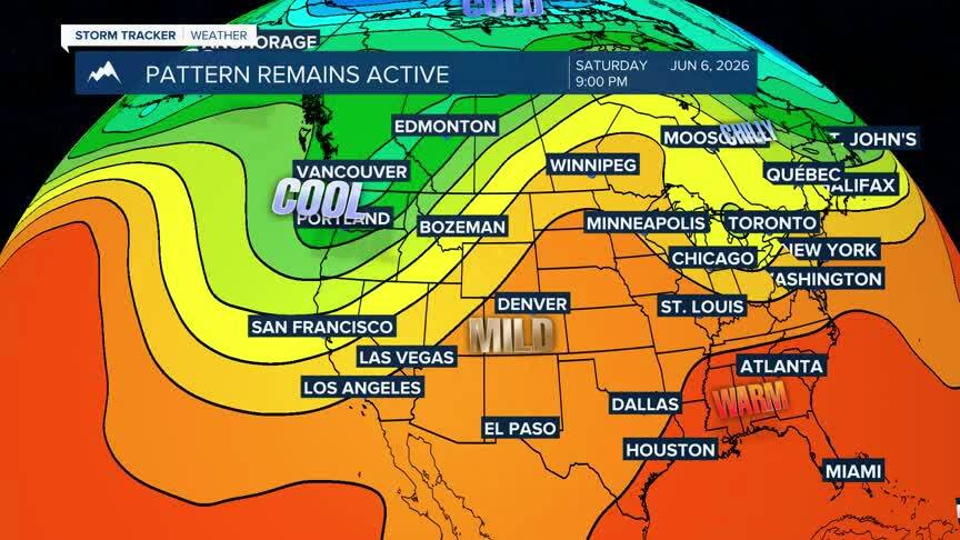
While we are not looking at large-scale weather makers driving through the area we will at least pick up chances for some scattered showers with our daytime temperatures fluctuating from above average highs to slightly below average temperatures. I would not expect these systems to bring rain totals above average, but should give us a chance to keep up with season averages for the next couple of weeks.
