


BOZEMAN – A much needed boost of precipitation over the last 5 days has greatly helped SW Montana month to date totals.
The Bozeman and Belgrade areas are the only reporting stations with near to slightly above normal May precipitation (see graphic). Butte, Dillon and Livingston are around 1 inch below normal as we head into the last week of May.

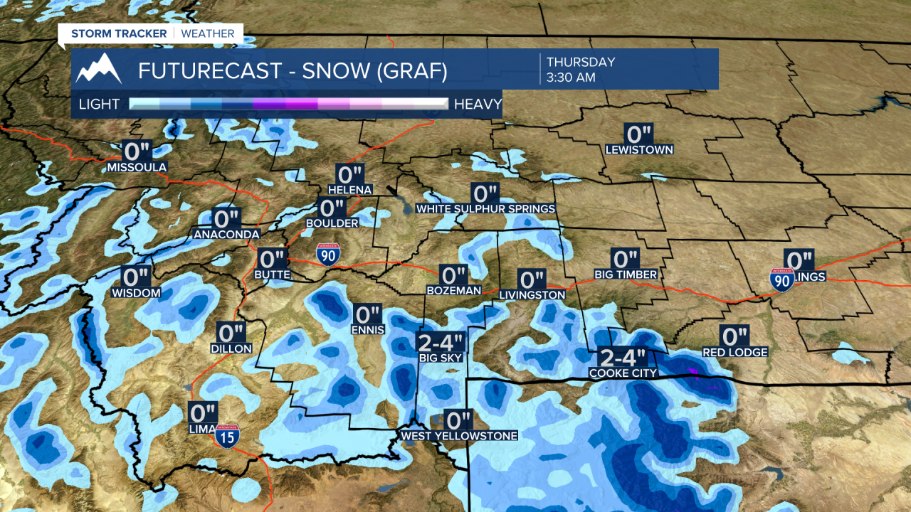
The good news is more rain and snow is in the forecast this week as another Pacific cold front and upper-level Low pass through the state Tuesday through Wednesday. Scattered mainly afternoon showers or thunderstorms are likely for SW Montana Tuesday and Wednesday along with gusty winds. Higher mountain snow is also possible especially above 7,000’ Tuesday night into Wednesday and possibly again Wednesday night.

Wind is another byproduct of this active pattern and wind gusts are strong at times Monday afternoon. Gusty winds ahead of the next cold front are possible Tuesday and gusty winds behind the front on Wednesday.
Looking into the holiday forecast this weekend. Temperatures will be near normal Friday and Saturday and could rise slightly above normal by Sunday and Monday over SW Montana. Right now, the forecast is mostly dry and breezy this weekend. Mornings will be chilly but late afternoons should be mild to warm Sunday and Monday.
