


Today's Forecast: Several areas are dealing with snow showers for the morning with more scattered snow showers expected for higher elevations through the afternoon and evening. Slick conditions will continue west of the divide for the morning. Highs will top out in the 40s for the afternoon with winds picking up between 20-30 mph. Winter Weather Advisories are in place for southern Gallatin, Madison, and Beaverhead counties above 6500 feet with 3”-8” likely.
BOZEMAN: High: 45; Low: 33. Windy and warm with highs back in the middle 40s. There is a chance of late-afternoon or early evening snow showers with little accumulation expected.
BUTTE: High: 41; Low: 28. Slick roads early with spotty showers possible through the middle morning. Highs will climb quickly with winds gusting between 20-30 mph out of the south.
DILLON: High: 42; Low: 29 Warm and windy with a chance of early evening snow showers possible. Winds out of the southwest between 15-30 mph
WEST YELLOWSTONE: High: 34; Low: 24. Scattered snow showers and chilly with highs topping near the middle 30s.
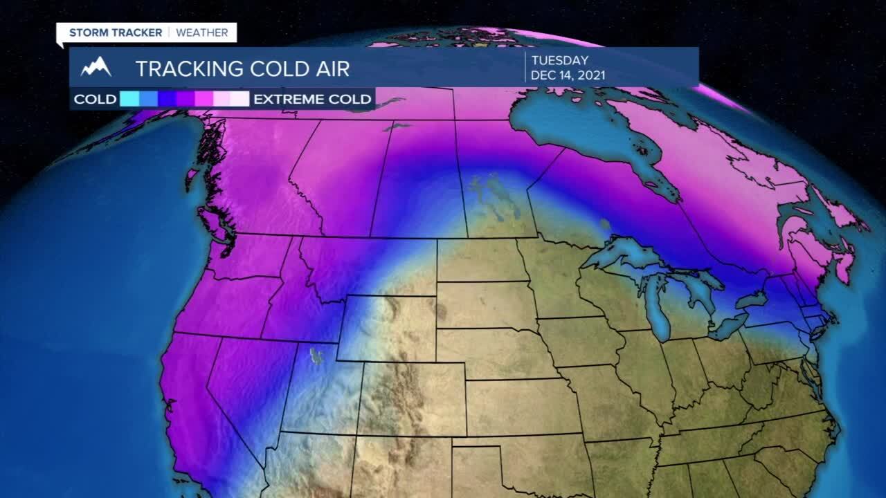
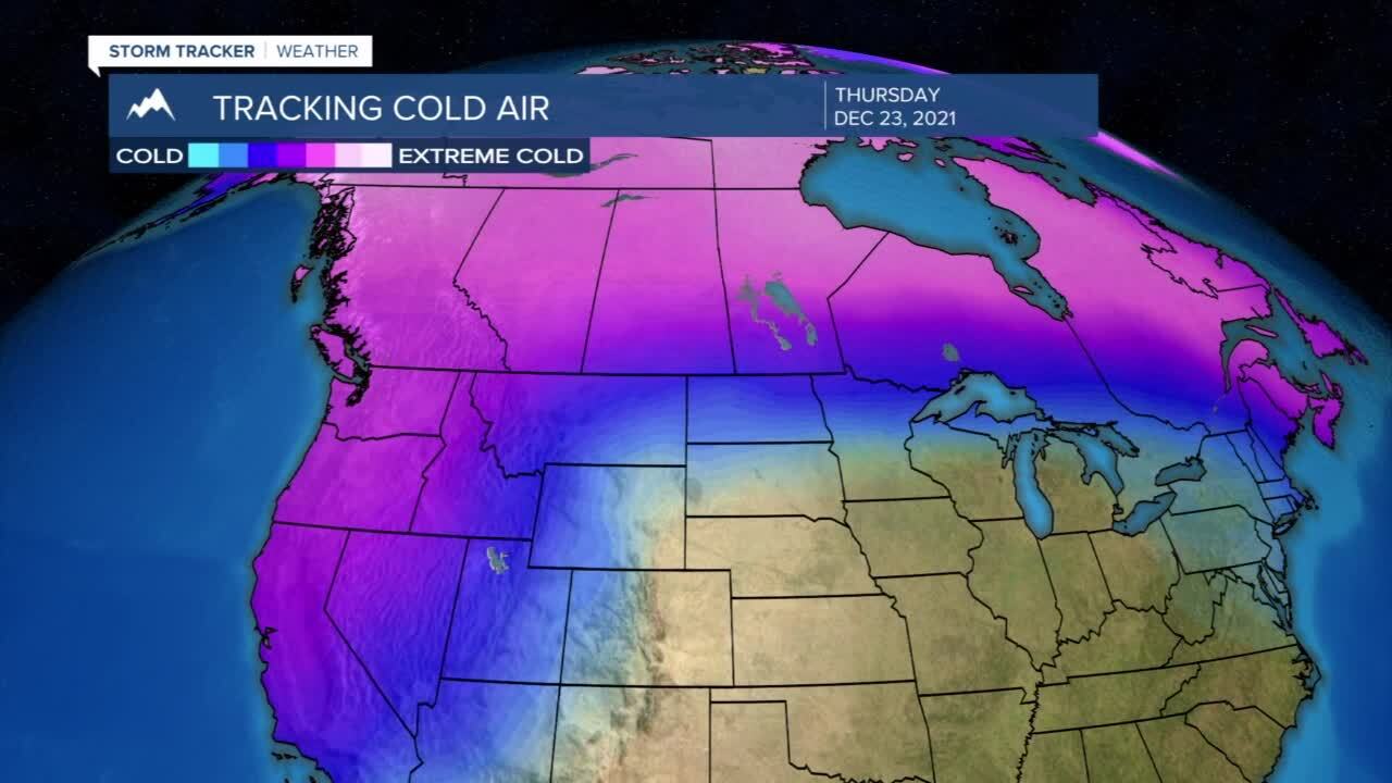
ACTIVE AND COOLER PATTERN: Our weather pattern is turning colder and more active over the course of the next 10 days which will likely bring us several chances of snow and much colder air to the area leading up to Christmas. Expect temperatures to be above average through Tuesday but with several high mountain snow showers. As the first of several cold fronts begin to move through late Tuesday into Wednesday, we will likely begin to pick up small doses of snow for the valleys with much more substantial snow in the mountains. As we lead up to Christmas weekend we will have another arctic front drop in and bring more snow and much colder air for Christmas according to the latest model data coming in.
