

HAMILTON — Firefighters across the Bitterroot National Forest are shifting their focus to prescribed burning operations.
“This is the time of year when we have the opportunity to be proactive and meet our forest-wide goals of reducing hazardous fuels in key areas near communities,” said Bitterroot National Forest Fuels Fire Management Officer Matt Young. “Over the coming weeks, we will be burning on days that maximize safety and minimize smoke impacts to restore healthy forest conditions.”
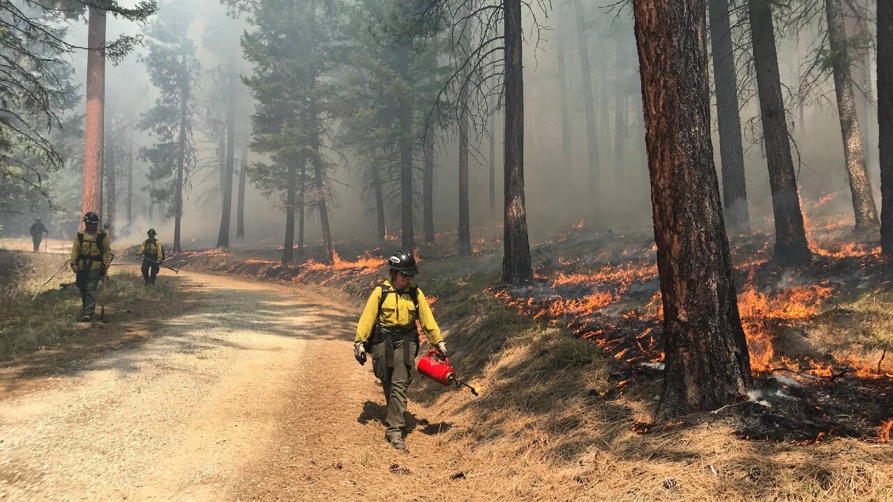
Both underburning and pile burning will be conducted this fall in previous treatment areas to eliminate slash/woody debris and promote nutrient recycling in the soil. Underburning — a type of prescribed fire treatment — ignites vegetation under the forest canopy or in open grassy meadows and focuses on the consumption of surface fuels.
All total, fire managers plan to burn approximately 2,240 acres this fall. Smoke will likely be visible from West Fork Highway, East Fork Road, or US Highway 93.
Treatment areas include:
West Fork Ranger District – 1,615 acres planned: (1,300 acres pile burns/315 acres underburns)
- Frazier Interface, south of Pierce Creek & north of Baker Creek (40 acres of piles)
- Lower West Fork, north of Tory Creek along Forest Road (FR) 5630A (16 acres of piles)
- One & Two Creek, along FR 732 & 732A (298 acres of piles)
- Mud Saddle & Ridge, north of Mud Creek along FR 5644 (203 acres of piles)
- Basin, between Basin & Bonnie Blue Creeks along FR 730 & 5649 (203 acres of piles)
- Black Creek, north of Black Creek along FR 5644, 5647 and 5649 (183 acres of piles)
- Painted Rocks West, south of Coal Creek (250 acres of piles)
- Overwhich, south of Overwhich Creek along FR 5699 (115 acres of piles)
- Lower West Fork Units, south of Trapper Creek & north of Lloyd Creek (315 acres underburns)
Darby/Sula Ranger District – 621 acres planned: (450 acres underburns/171 acres pile burns)
- Waddell Units, south of Lake Como (179 acres underburns)
- Como/Horse Lick, south of Lost Horse and north of Lake Como (180 acres underburns)
- Trapper Bunkhouse, SW of Darby between Little Tin Cup & McCoy Creek (47 acres underburns)
- Tepee Face, East of Sula & north of Springer Memorial (231 acres underburns)
- Meadow Creek & Cameron Blue, approx. 9 miles east of Sula (5 acres of piles)
- Needle Creek Units, east of Springer Memorial (23 acres of piles)
- Barley and North Reimel, east of Sula near Reimel Creek (115 acres of piles)
- Spring Gulch Campground, off Hwy 93 (1 acre of piles)
- Westside, northwest of Charlo Heights area (23 acres of piles)
- Little Jumper, west of Lost Horse Lodge (4 acres of piles)
- Shannon Lake, south of Lake Como Boat Ramp off 550A road (2 acres of piles)
Stevensville Ranger District – 2 acres of pile burns:
- Larry Bass Units, within the Bass Creek Recreation Area north of Stevensville
- Three Saddle Units, Sapphire Mountains east of Stevensville
Fall prescribed fire activities normally take place between September and November and burning is highly weather and fuels dependent. A mosaic pattern of burned and unburned areas will remain after treatments.
Prescribed burning operations will only be conducted if conditions are favorable, according to fire officials.
People can contact their local ranger district for additional information about specific burns or to be placed on a pre-burning notification list. Click here to view a map of prescribed fire treatment areas.
